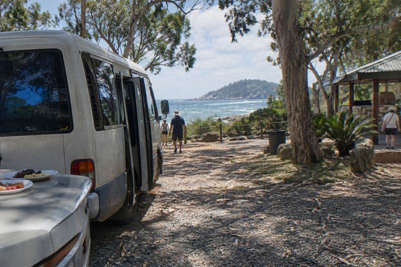
Where Does The Forts Walk Start?
The Forts Walk starts at Forts Junction on the main road between Arcadia and Horseshoe Bay. Here is how to reach the trailhead by bus, ferry and hire vehicle, and what branches off from it.
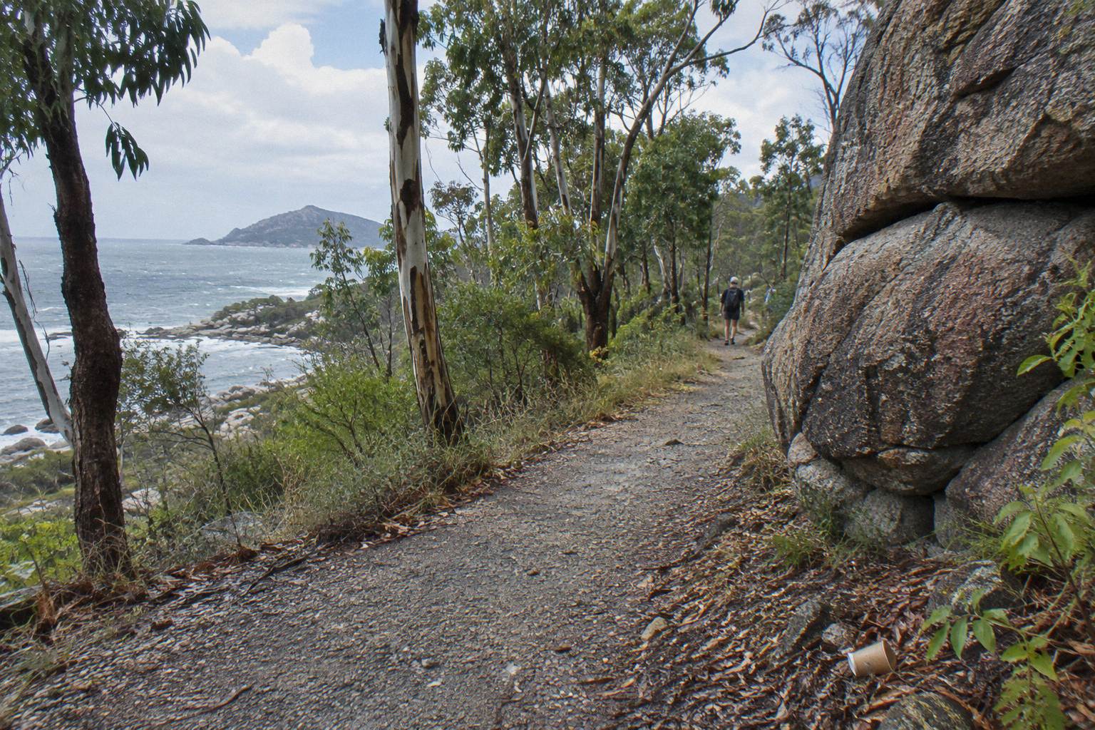
The Forts Walk starts at Forts Junction, a signed trailhead and small car park on the main road that links Arcadia and Horseshoe Bay on Magnetic Island's eastern side. Queensland Parks and Wildlife Service describes the access point plainly: "The Forts Walk is accessible from the Forts Junction." From that single junction, one 4 km return track climbs to WWII fortifications, and several shorter tracks branch toward Arthur Bay, Florence Bay and the old searchlight tower.
That answer sounds simple, and it is, but the practical questions pile up quickly behind it. Forts Junction is not a town or a bay with a jetty; it is a bend on a road with a bus stop, a car park and a track entrance. Working out how to be standing there at the right hour, with the right shoes and enough daylight left, is what turns the answer into a plan. This page works through each of those steps using official track data, ferry timetables and the island's published transport options.
The stakes are real. The Forts Walk is the island's signature walk, protecting what the parks service calls the best-preserved WWII coastal defence fortifications in Queensland, and it is also one of the most reliable places on the island to spot a wild koala. Miss the trailhead details and you can lose an hour of a day trip, or arrive at the hottest, least promising time of day for wildlife. Getting the start right is most of the battle.
Where Is Forts Junction Exactly?
Forts Junction sits on the main road between Arcadia and Horseshoe Bay, roughly in the middle of Magnetic Island's populated eastern shore. It is a signed car park and bus stop rather than a settlement, and it doubles as the access point for several tracks besides the Forts Walk itself. There is no jetty, shop or visitor centre at the junction.
The junction sits inland of Horseshoe Bay and north-east of Arcadia, on the island's main sealed road. Driving from Arcadia toward Horseshoe Bay, the trailhead appears on the road before you drop into Horseshoe Bay itself; coming the other way, it is the first major signed stop after leaving the Horseshoe Bay beachfront. The parks service keeps its description deliberately simple, naming Forts Junction as the access point on the main road between the two bays, and the signage at the car park matches the official track names.
What you will find at the junction is functional rather than scenic: parking, a bus stop served by the island's public route, and track signage. That modesty hides how much hangs off the spot. The Forts Walk proper, the walk's continuation to Florence Bay, the side track to Arthur Bay, the Searchlight Tower track and the long Nelly-Arcadia-Junction track all begin at or pass through this one trailhead, per the QPWS walking trails summary. It is the busiest walking node on the island.
The island's Traditional Custodians, the Wulgurukaba, "canoe people", know the island as Yunbenun, and the landscape you are stepping into at the junction, granite boulders, hoop pines and fringing reef below, is part of the Great Barrier Reef World Heritage Area. The official Forts Walk page carries the track's distance, grade and access details, and it is worth a read before you set out.
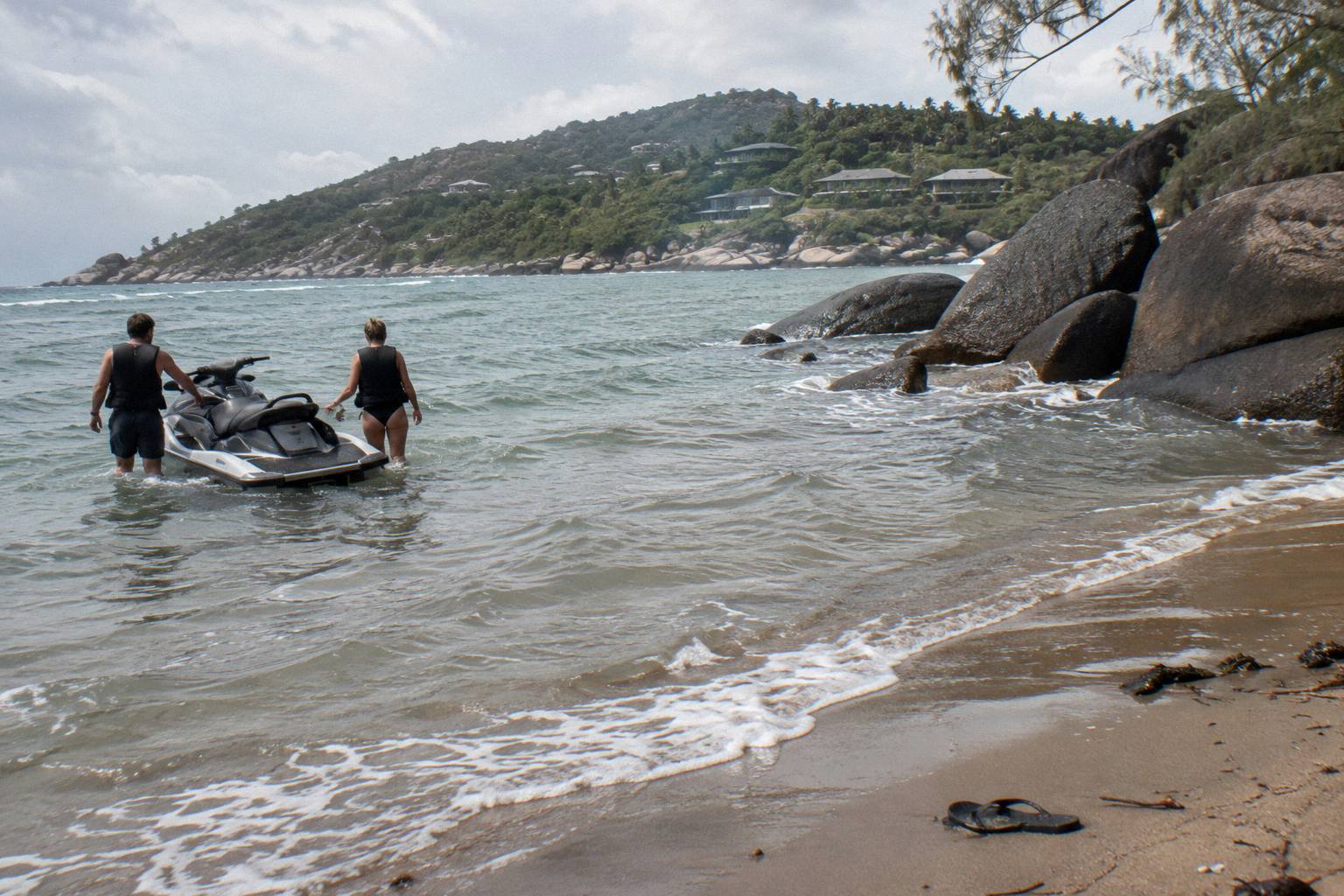
The junction's position matters for timing more than anything else. Because it sits between two bays rather than at one, you can pair the walk with a swim or a lunch on either side: Horseshoe Bay for its long beachfront and jet ski operators, Arcadia for the smaller, lifeguard-patrolled Alma Bay. Walkers who start early at Forts Junction can be back down for a late morning swim, while afternoon starters often reverse the order. Just keep the ferry timetable in mind if you are day-tripping.
One caution worth carrying from the start: do not confuse Forts Junction with the Forts Walk's endpoint. The walk's WWII ruins sit near the top of the ridge, and several visitors each week reportedly walk only as far as the first lookout, assume they have seen "the forts", and turn back before the actual gun emplacements and signal station. The full 4 km return takes in all of it, and the parks service suggests allowing two hours of walking time for the circuit, Grade 3, on top of however long you spend at the top.
How Do You Get To Forts Junction Without A Car?
You have three realistic car-free options: the passenger ferry from Townsville followed by the island's public bus, which lists a Forts Junction stop; a tour that includes island sightseeing; or a hire vehicle such as a moke or scooter picked up near the ferry terminal. The bus is the cheapest and simplest for most day-trippers.
The first leg is the same for everyone arriving from the mainland. The SeaLink passenger ferry crosses from Townsville's Breakwater Terminal to Nelly Bay in about 20 minutes, with up to 17 return services a day, which is why the island works as a short day trip. The ferry timetable is the anchor for every car-free plan: your first sailing determines when you can be at the trailhead, and the last departure home determines how long you can stay.
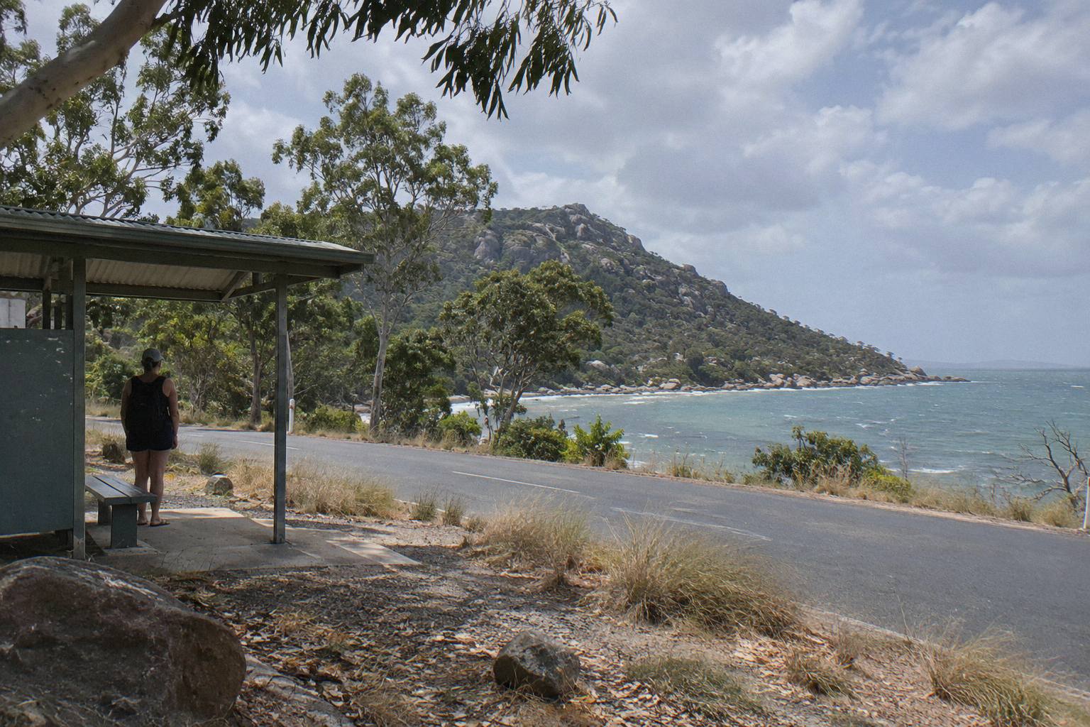
From Nelly Bay, Sunbus route 250 runs the eastern shore and its published stop list includes Nelly Bay Ferry Terminal, Base Backpackers, Bungalow Bay Backpackers, Forts Junction, Arcadia/Alma Bay and the supermarket on Kelly Street. That Forts Junction stop puts the trailhead a few steps from the bus door, and the same route connects back to Horseshoe Bay, Arcadia and the ferry terminal afterwards, so you can walk one direction and ride the other if the timing suits. Service frequency is limited, so photograph or note the timetable at the ferry terminal when you land.
Hire vehicles are the flexible middle option. Two operators are listed on the island's transport directory: Tropical Topless at 138 Sooning St, Nelly Bay, a short walk from the ferry terminal, and Road Runner Scooter Hire at 56A Kelly St, Nelly Bay. The island transport directory carries both addresses. Neither minimum ages nor licence rules for moke and scooter hire are published in official sources, so confirm those details with the operator directly before booking.
The table below compares the realistic car-free ways to reach the trailhead, using the ferry and route facts above.
| Access option | First leg | Second leg to Forts Junction | Best suited to |
|---|---|---|---|
| Ferry plus Sunbus 250 | Passenger ferry, about 20 min from Townsville | Direct Forts Junction stop on route 250 | Day-trippers wanting the cheapest, simplest run |
| Ferry plus hire moke or scooter | Same ferry to Nelly Bay | Ride to the trailhead car park between Arcadia and Horseshoe Bay | Visitors wanting flexibility across bays all day |
| Ferry plus tour | Same ferry, bought separately | Tour pickup from island accommodation or the terminal | First-time visitors who want commentary and structure |
| Ferry plus bicycle | Same ferry to Nelly Bay | Ride the main road to Forts Junction | Confident riders; the road has climbs |
Whichever option you choose, build slack into the ferry-to-trailhead leg. The walk itself deserves two hours, the middle of the day is the worst time for both heat and koala spotting, and the penalty for missing a bus connection at Horseshoe Bay or Arcadia is a long wait. Our guide to getting around Magnetic Island without a car works through the same trade-offs for the whole island, not just this trailhead.
Can You Drive And Park At The Forts Walk Start?
Yes, the Forts Walk has its own car park at Forts Junction, and driving there is straightforward on the island's main sealed road from either Arcadia or Horseshoe Bay. Parking is free and unstaffed, and it fills earliest in the middle of the day during peak season.
The car park sits directly at the junction, level with the track signage, so the walk starts the moment you leave the vehicle. Drivers staying on the island, or arriving on the vehicle ferry from 42 Ross Street, South Townsville, which takes around 40 minutes, will find the junction signed from both directions on the main road. The parks service's own guidance on the Forts Walk notes that walking early in the day is cooler, parking is easier to find, and koalas and other wildlife are more active, which is as close to an official tip on beating the car park crush as you will get.
The West Coast Eco Adventure run by MI Ride Discovery Tours is another way to see island country that most visitors skip: a three-and-a-half-hour all-terrain bus tour of the island's western side, with seasonal morning tea, fruit and sweet treats, and two to three short walks, rated 4.8 from 62 reviews. It starts from the Nelly Bay ferry terminal or Picnic Bay and covers ground the eastern-road car parks never touch.
If you do drive, pair the trailhead with one bay rather than trying to see all of them. The practical pattern is: park at Forts Junction, walk the track in the cooler hours, then drive down to Horseshoe Bay or Arcadia for a swim and lunch. Alma Bay has a lifeguard every day from 8:15am to 4:15pm, and Horseshoe Bay has both a lifeguard on the same hours and stinger nets in season, which runs from November through May, so both are sound swimming choices after a hot walk.
There is no fuel, water refill or kiosk at the junction, so arrive with everything you need. The nearest shops are in Horseshoe Bay and Arcadia, each a few minutes' drive, and the bus route's supermarket stop on Kelly Street covers supplies if you are riding instead.
Which Tracks Branch Off From Forts Junction?
Forts Junction is the access point for the Forts Walk itself plus at least five other signed tracks, including routes to Arthur Bay, Florence Bay, the Searchlight Tower, Radical Bay and the long Nelly-Arcadia-Junction track. Distances below are from the QPWS walking trails summary, measured one way unless marked return.
The full spread of options is what makes this junction the island's walking hub. The Forts Walk proper is 4 km return, Grade 3, with two hours of suggested walking time. Its extension to Florence Bay runs 3 km one way at 1 hr 20 min, Grade 3. The short hop to Arthur Bay is 1 km, 20 minutes, Grade 2, the easiest leg of the lot. The Searchlight Tower track is 2 km one way, 40 minutes, Grade 3. And the Nelly-Arcadia-Junction track runs 3 km one way to Arcadia or 6.4 km to Nelly Bay, Grade 4, for walkers wanting a long point-to-point instead of a return circuit.
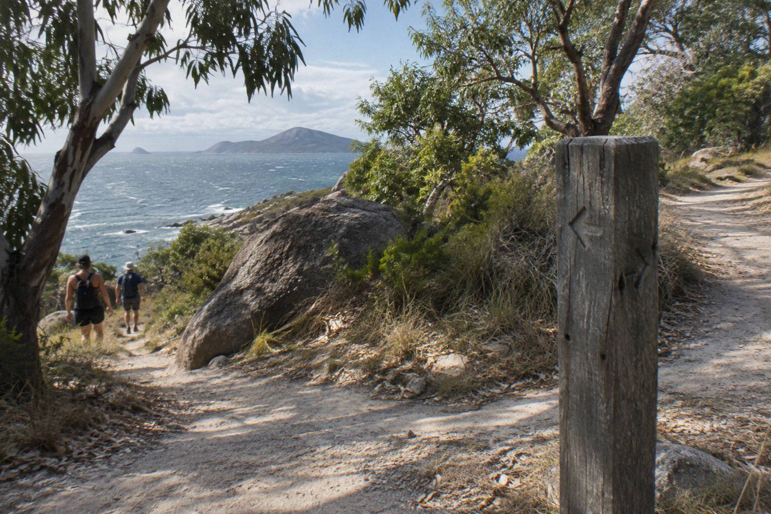
The table below lays out the signed options from the junction so you can match a track to your available time and fitness.
| Track from Forts Junction | Distance | Time | Grade |
|---|---|---|---|
| Forts Walk (return) | 4 km return | 2 hrs | 3 |
| Forts Walk to Florence Bay | 3 km one way | 1 hr 20 min | 3 |
| Arthur Bay | 1 km one way | 20 min | 2 |
| Searchlight Tower | 2 km one way | 40 min | 3 |
| Florence Bay from Forts Junction | 1.8 km one way | 35 min | 3 |
| Nelly-Arcadia-Junction track (to Arcadia) | 3 km one way | 1 hr 20 min | 4 |
| Nelly-Arcadia-Junction track (to Nelly Bay) | 6.4 km one way | 2 hrs 20 min | 4 |
Not every branch suits every walker. Radical Bay from Horseshoe Bay, 1.5 km, 50 minutes, Grade 4, and Balding Bay from Horseshoe Bay, 1.4 km, 40 minutes, Grade 4, are reached from Horseshoe Bay rather than the junction, but they combine naturally with a day that starts at Forts Junction and finishes at the beach. Grade 4 tracks demand more fitness and care, especially in wet weather, and none of the island's tracks should be walked in the dark without preparation.
If you are deciding how much walking you can fit around a tour and a ferry sailing, our page on how long the Forts Walk takes breaks the two-hour figure into segments, including how long the climb to the fort ruins alone takes most visitors.
What Will You See From The Start Of The Walk?
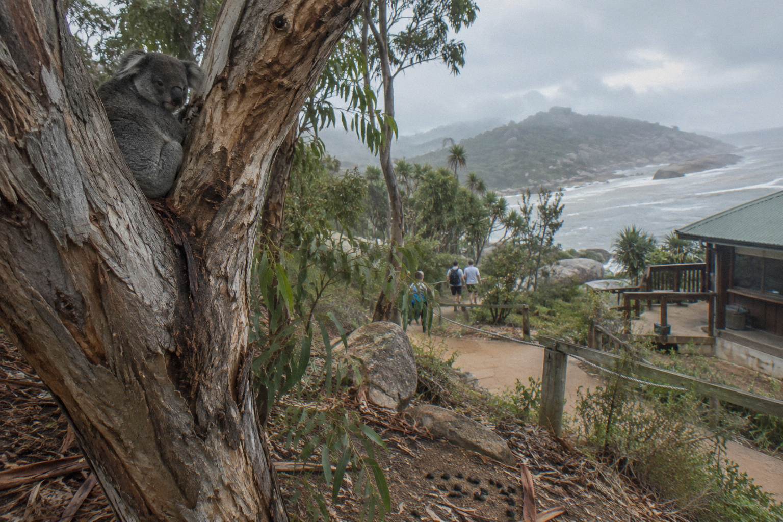
The first stretch of the Forts Walk climbs through eucalypt and acacia woodland where the parks service says there is "a good chance of spotting a wild koala in the stunted trees". Higher up, the track passes the WWII signal station and coastal battery, built 1942-43, and ends at lookouts over the island's north-east bays.
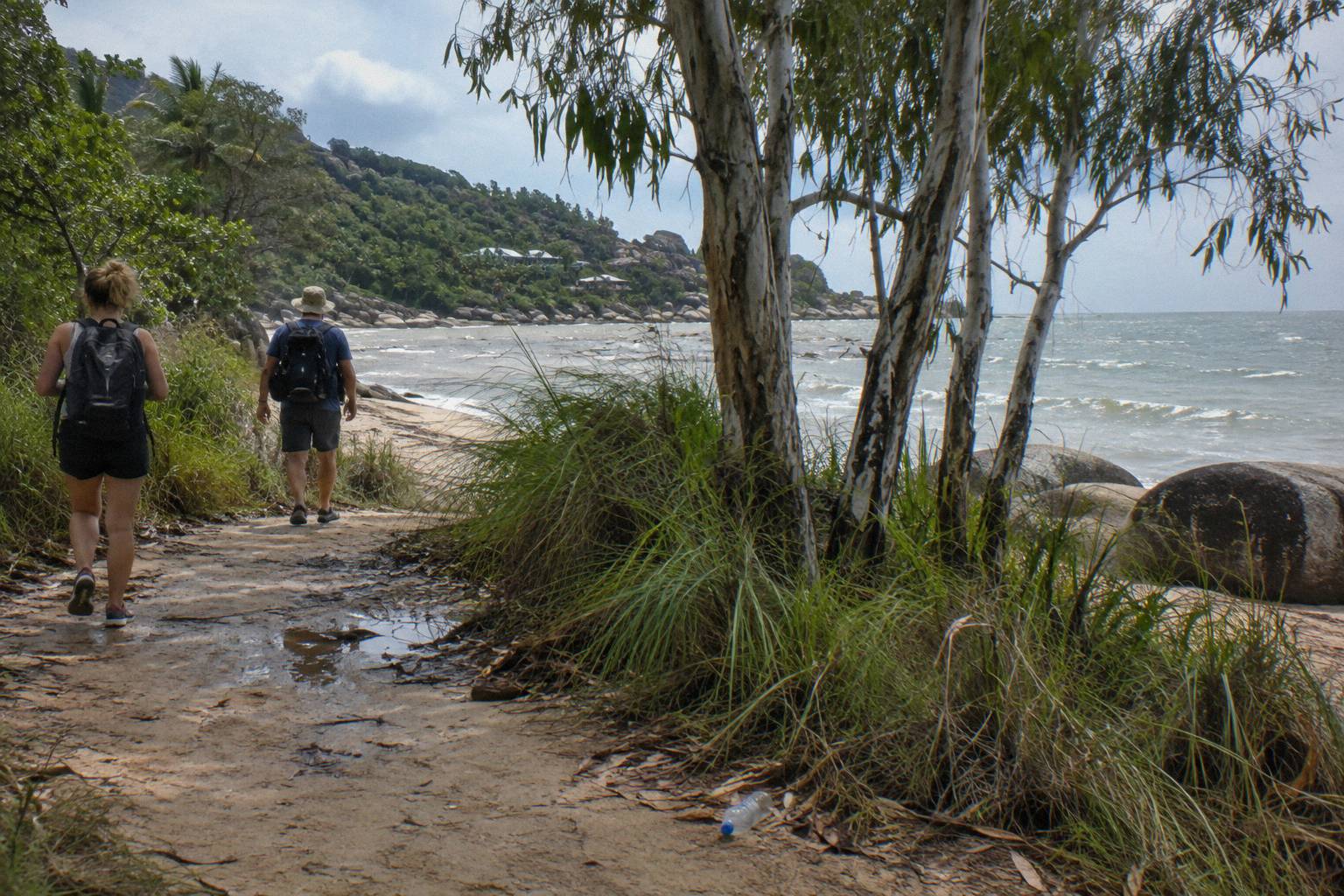
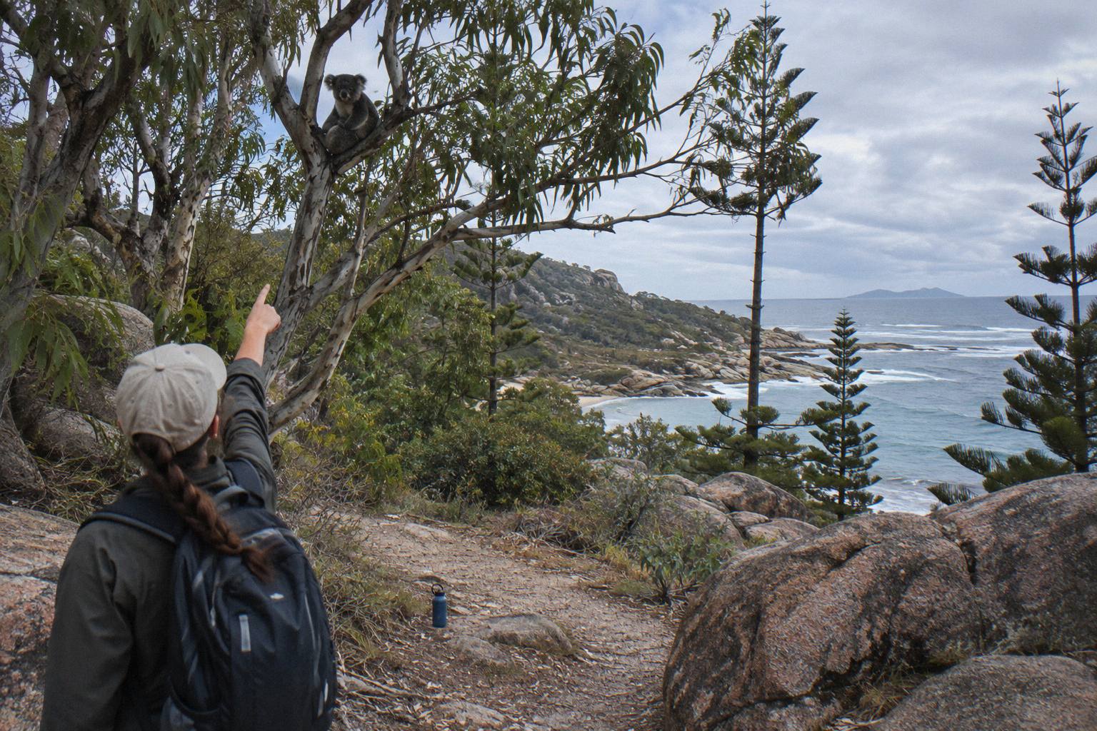
The koala facts are unusually strong here because they come with numbers. Koalas were introduced to the island in the 1930s to protect them from perceived threats on the mainland, and a study in 2012 estimated the island supports a population of around 800 koalas. The parks service states flatly that "Koalas can be seen along the Forts Walk", which is about as direct an official wildlife claim as you will get anywhere on the Great Barrier Reef coast. Scan the lower forks of the stunted eucalypts as you climb, and keep your distance if you spot one: the local nature care association warns that koalas are easily stressed and may desert their young if approached.
The fortifications give the walk its name and its heritage listing. During 1942-43 a signal station and coastal battery were built on the island, and the Forts Walk protects what the parks service calls the best-preserved WWII coastal defence fortifications in Queensland. The concrete structures near the top are the walk's focal point, and the lookouts beyond them deliver the payoff views over Arthur Bay, Florence Bay and the Coral Sea.
Wildlife is not limited to koalas. Allied rock-wallabies, Petrogale assimilis, live among the granite boulders, and the parks service advises looking for them feeding in the early morning and late afternoon; their subtle colouring makes them difficult to see among the rocks. Feeding wildlife is not allowed in the national park, a rule that protects both the animals and the population balance. The parks service culture page carries the koala history and the wallaby guidance in full.
When To Start The Forts Walk For Koalas And Cool Weather?
Start as early in the day as your ferry or accommodation allows. The parks service itself recommends walking early because it is cooler, car parking is easier, and koalas and other wildlife are more active; the same logic applies to late afternoon, when rock-wallabies feed.
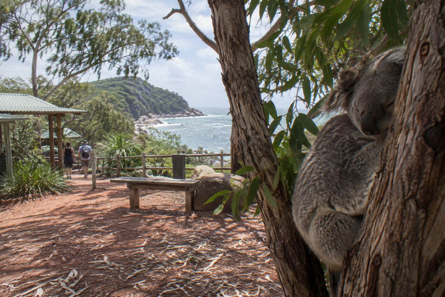
The official advice is not generic filler; it tracks the biology. Koalas rest in eucalypt branches by day and feed late in the afternoon, and rock-wallabies are early morning and late afternoon feeders too. A walker who starts at the junction at 8am shares the woodland with active animals and mild air. A walker who starts at midday shares it with heat, glare and sleeping fur. On the climate side, Townsville's mean maximum temperatures run from about 25.2 °C in July to 31.6 °C in December, and the winter months are dominated by south-east trade winds and mostly fine weather, which makes the cooler half of the year the more forgiving walking season.
For day-trippers, the arithmetic works like this: an early ferry from Townsville, roughly a 20-minute crossing, then a bus or short drive to the junction, puts you on the track by mid-morning. Walk the two hours, eat, swim at Horseshoe Bay or Alma Bay in the warmest part of the day, and return on a late afternoon or evening ferry. Last-sailing times vary by day of the week, so confirm the evening timetable before you commit to the plan.
Stinger season, November through May, does not affect the walk itself but it shapes the swim afterwards. Swim at a patrolled beach, inside the nets where they are in use, and wear a full-body stinger suit if you swim outside them. Horseshoe Bay is the safest pairing with the Forts Walk: lifeguard every day 8:15am to 4:15pm, nets in use in season.
Can A Tour Drop You At The Forts Walk Start?
Some island tours include a Forts Walk stop and others cover the same history and wildlife by vehicle; a tour will not replace the walk, but it can replace the logistics of reaching the junction, the guiding and island pickup in one booked day. The strongest fit is a five-hour island tour that includes national park entry and island pickup.
The Magnetic Island: History, Beaches & Wildlife Tour is the natural pairing. It runs five hours from A$95, is rated 4.8 from 189 reviews, and includes light morning tea, national park entry fees, free island accommodation pickup, bottled water and an air-conditioned vehicle. Ferry tickets and lunch are not included. For a visitor asking where the Forts Walk starts because they are unsure how to fit it into a day, this tour answers the bigger question: how to see the island's history, bays and wildlife without organising a single connection. Check availability on the History, Beaches & Wildlife Tour page if that structure appeals.
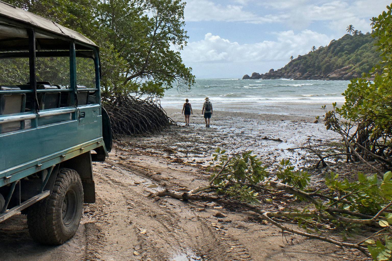
Behind the Scenes with Tim Bee covers similar ground with a local's eye. Five hours, from A$115, rated 4.9 from 205 reviews, with bottled water, a private conservation reserve visit and island pickup in an air-conditioned minibus. Ferry tickets, lunch and snacks are not included. Guests consistently name the guide's local knowledge as the reason to book it, and it is a strong option when you want island stories rather than just island stops.
Tours and the walk are complements, not substitutes. The fortifications and the koala woodland are experienced properly only on foot, and the parks service's two-hour allowance is honest for the return trip with stops. What a tour adds is everything around the walk: the ferry, the timing, the bays you would otherwise skip, and the wildlife and history context that turns a gravel track into a story. If your day is tight, do the walk early on your own, then hand the afternoon to a tour, or take the tour first and use it to scout which bays deserve more time.
For the fullest trailhead-to-ruins detail, including what the climb involves section by section, our complete Forts Walk guide is the deeper companion to this page, and the guided Forts Walk tour guide weighs up whether a walking guide earns its cost on this particular track.
What Should You Bring For The Walk From Forts Junction?
Bring two litres of water per person, enclosed shoes with grip, sun protection, and nothing that needs refrigeration, because the junction has no water, kiosk or shade structure. Allow two hours of walking plus stops, and carry out everything you carry in.
The track climbs steadily through woodland with limited shade in the middle hours, and the granite holds heat. A hat, sunscreen and a refill before you leave Nelly Bay or Horseshoe Bay cover most failures. The list below is deliberately short, because the walk is short; it is a half-day outing, not a bushwalk.
| Item | Why it matters at Forts Junction |
|---|---|
| Two litres of water per person | No water or refill point at the trailhead or on the track |
| Enclosed walking shoes | Granite and gravel sections, Grade 3 track |
| Hat and sunscreen | Exposed sections, especially the upper fort area |
| Snacks | No kiosk at the junction; nearest shops are Horseshoe Bay and Arcadia |
| Camera or binoculars | Koalas sit high in stunted trees; wallabies feed at track edges |
| Swimwear and stinger suit in season | For the patrolled beach swim afterwards, November to May |
Timing your supplies is as important as packing them. If you are riding the bus, the Kelly Street supermarket stop on route 250 is the practical last chance for water and food before the junction. If you are driving, Horseshoe Bay's shops sit a few minutes back down the road. Either way, do not arrive at the trailhead relying on facilities that are not there, and plan the post-walk swim around lifeguard hours, 8:15am to 4:15pm at both Horseshoe Bay and Alma Bay.
Common Questions About The Forts Walk Start
Where Does The Forts Walk Start?
It starts at Forts Junction, a signed car park and bus stop on the main road between Arcadia and Horseshoe Bay on Magnetic Island. The junction is the access point for the Forts Walk and several other signed tracks.
Can You Get To The Forts Walk Start By Public Transport?
Yes. Sunbus route 250, which serves the Nelly Bay ferry terminal, publishes a Forts Junction stop, so the trailhead is reachable by ferry plus bus from Townsville without a car.
Is There Parking At The Forts Walk Start?
Yes, there is a car park at Forts Junction itself, on the main road between Arcadia and Horseshoe Bay. It is unstaffed and fills earliest in the middle of the day in peak season.
How Far Is The Forts Walk From The Ferry Terminal?
The walk starts at Forts Junction, a short bus or drive from Nelly Bay ferry terminal. No official road distance between Nelly Bay and the junction is published, but the bus route connects the two directly.
What Else Can You Walk From Forts Junction?
Signed tracks from the junction include the Forts Walk itself, routes to Arthur Bay, Florence Bay and the Searchlight Tower, and the long Nelly-Arcadia-Junction track toward Arcadia or Nelly Bay.
What Is The Best Time Of Day To Start The Forts Walk?
Early in the day. The parks service advises walking early because it is cooler, parking is easier and koalas and other wildlife are more active; late afternoon suits rock-wallaby spotting.
Whatever way you reach it, the junction itself is the easy part: ferry to Nelly Bay, bus, hire moke or tour vehicle up the main road, and the granite and hoop pines of Magnetic Island do the rest. For more island planning built around tours, ferry timing and the bays between the trailhead and the beach, Magnetic Island Tours keeps the whole picture in one place.