Forts Walk Magnetic Island: Distance, Time, Koalas And Guided Walks
The Forts Walk is a 4 km return track through WWII fortifications and koala country, and it is the one walk on Magnetic Island that combines history, lookouts and reliable wildlife in a single two-hour loop.
Short answer
The Forts Walk is 4 km return, takes about 2 hours, and is graded Grade 3. It starts at Forts Junction on the main road between Arcadia and Horseshoe Bay. It protects the best-preserved WWII coastal defence fortifications in Queensland, and koalas are regularly seen in the trees along the track, especially early in the day.
Magnetic Island packs a lot into 5,184 hectares, and 78 percent of that land is national or conservation park, but if you only have time for one walk, the Forts Walk is the one most visitors end up talking about. It is short enough to fit around a ferry timetable, it carries genuine history rather than a plaque and a view, and it runs through eucalypt woodland where wild koalas are a realistic sighting rather than a lucky one. This guide covers the numbers, the start point, what the ruins actually are, where the koalas hang out, and whether a guided walk is worth booking over going alone.
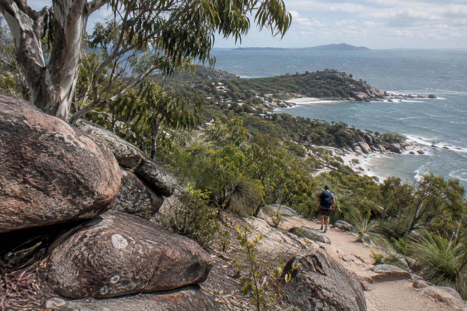
The island sits about 8 km north-east of Townsville inside the Great Barrier Reef World Heritage Area, and the Traditional Custodians, the Wulgurukaba "canoe people", call it Yunbenun. That context matters for the walk itself: the boulder-strewn headlands and towering hoop pines that make the track so photogenic are the same landscape the Wulgurukaba have cared for across countless generations, and the WWII concrete was a much later layer dropped on top of it. Walking the Forts Walk with both layers in mind, the ancient granite and the twentieth-century fortifications, is what separates a good visit from a quick one.
How Long Is The Forts Walk And How Hard Is It?
The Forts Walk is 4 km return, Queensland Parks and Wildlife Service suggests allowing 2 hours of walking time, and the track is Grade 3, which means a mostly formed path with some short steep sections and occasional steps. Most walkers finish in 90 minutes to 2 hours, with the ruins and two lookout points as natural turnaround and rest stops along the way.
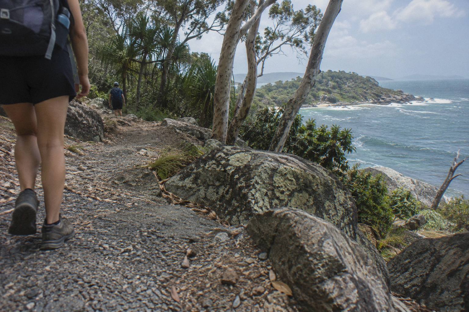
Grade 3 on the Australian Walking Track Grading System is the middle of the scale. It is not a stroll on a boardwalk, and it is not a scramble either. The first section from Forts Junction climbs gently, and the track to the signal station and the gun emplacements steepens in short bursts. Anyone who manages stairs at a normal pace will manage this walk. What catches people out is the heat: there is very little shade once you are above the treeline near the fortifications, and the granite holds the afternoon sun. Carrying a litre of water per person is the standard advice for a walk of this length in North Queensland, and it applies here.
The 2 hour allowance is walking time, not total time on the track. If you stop to read the interpretive signs at the battery, take photos from the lookouts over Arthur Bay and Florence Bay, and spend ten minutes scanning the treetops for koalas, plan on closer to two and a half hours door to door from the Forts Junction car park. Groups with small children or anyone walking in the middle of a summer day should budget three. The QPWS page for the track is the source for the distance, time and grade figures, and it also makes the point worth repeating: walk early in the day, when it is cooler, parking is easier, and koalas and other wildlife are more active.
Footwear deserves a sentence. Enclosed shoes with grip are the sensible choice, because the granite sections polish smooth under decades of feet and become slick after rain. Thongs have finished many Forts Walks, but they have also ruined a few ankles on the descent. A hat and sunscreen matter more than most visitors expect, since the exposed sections near the top offer no shelter at all, and the tropical sun burns through thin cloud. None of this is demanding equipment, which is precisely the point: the barrier to entry is low, and the rewards, a heritage-listed military site, two sea lookouts and a live koala population, are unusually high for a two-hour walk.
Where Does The Forts Walk Start?
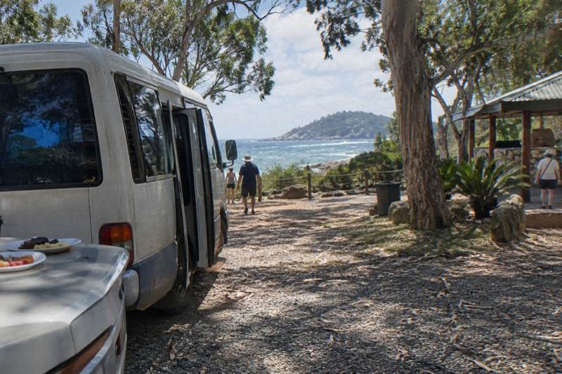
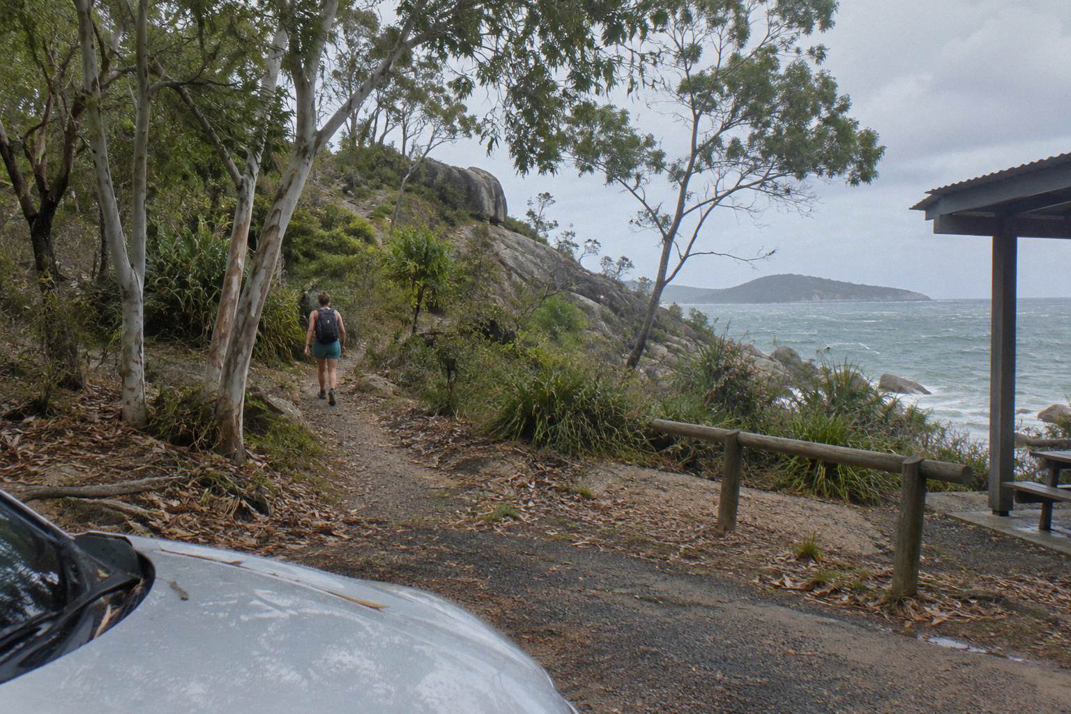
The Forts Walk is accessible from Forts Junction, a signed intersection on the main road between Arcadia and Horseshoe Bay. The junction has a small car park and a bus stop on Sunbus route 250, so the walk is reachable both by hire vehicle and by public transport, with no ferry-adjacent walking required.
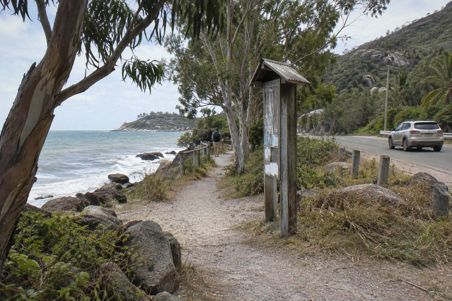
Forts Junction is also the branching point for several shorter tracks, which is why it works as a base for a half day of walking rather than a single outing. The Arthur Bay track leaves from here, the walk to Florence Bay leaves from here, and the longer Nelly-Arcadia-Junction track passes through. If you arrive by the route 250 bus, which stops at Forts Junction between the Nelly Bay ferry terminal and Horseshoe Bay, you can build a loop that ends at a different bay and catches a later bus back. The bus also stops at Arcadia and Alma Bay and at the Kelly Street supermarket area in Nelly Bay, which is handy for stocking up on water before you start climbing.
Parking is the practical constraint. The car park is small and fills early in the peak dry-season months, which is another reason the early-start advice is not just about koalas. Drivers touring the island often combine the Forts Walk with a swim at Horseshoe Bay or Alma Bay afterwards, and doing the walk first, before the car park fills and the granite heats up, is the pattern that works. If you are weighing up driving yourself against joining a tour that handles the schedule, the car hire or island tour comparison runs through that decision for the island as a whole.
If seeing the island and the Forts area in one organised day appeals more than self-driving, these are the guided options that cover the Forts and the bays around it:
What Are The Ruins On The Forts Walk?
The fortifications are a signal station and coastal battery built during the Second World War, beginning in 1942, and QPWS describes the Forts Walk as protecting the best-preserved WWII coastal defence fortifications in Queensland. The site is heritage listed, and the concrete structures, gun emplacements and control posts are open to walk through.
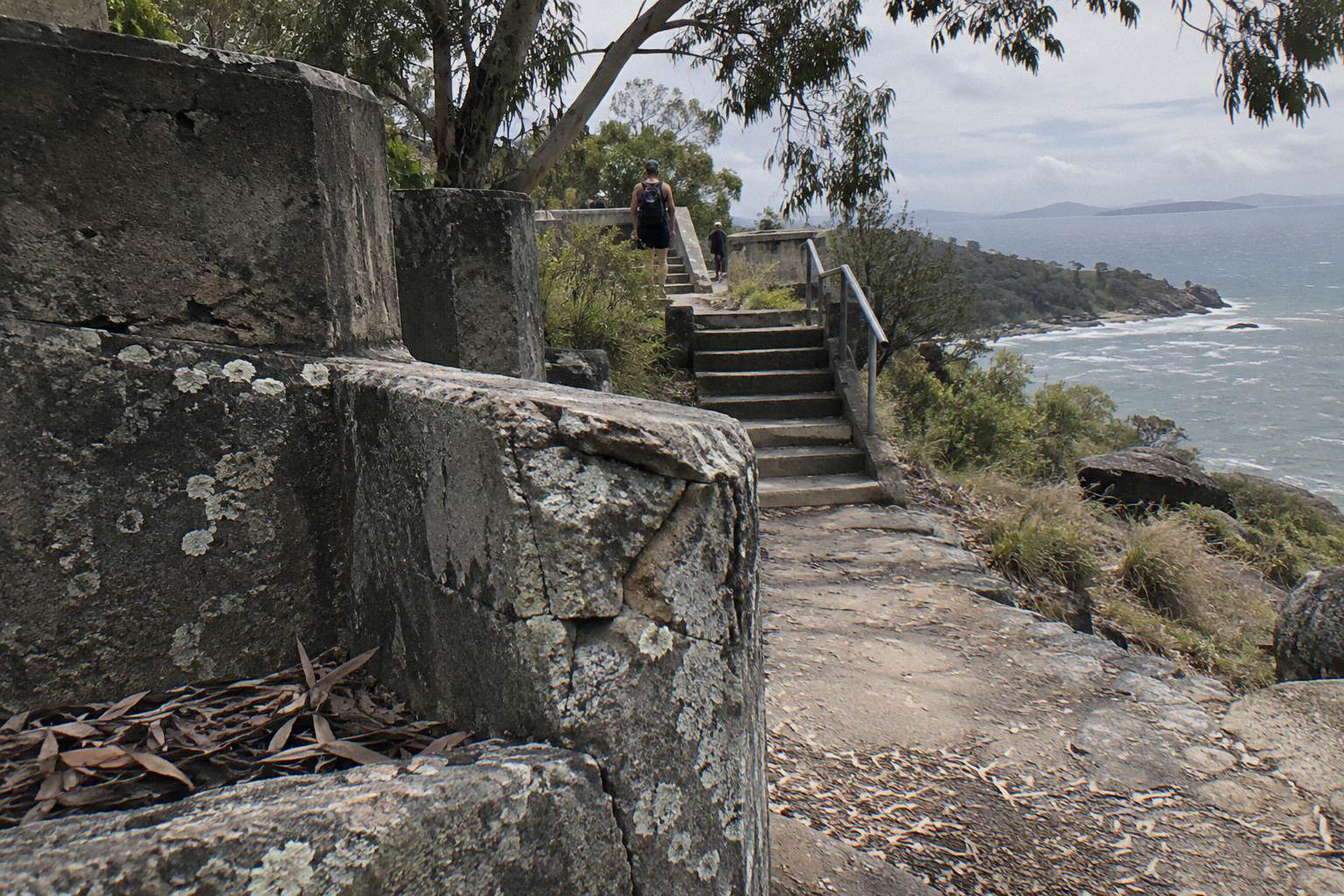
When Japan entered the war, Townsville became a major Allied base, and Magnetic Island sat directly in front of its harbour. The battery on the hill above Arthur Bay was part of that coastal defence network. Walking the track today you pass the remains of the command post, the radar and signal station foundations, and the gun emplacements themselves, all built into the granite hillside. The structures are unfenced and unstaffed, which is unusual for a heritage site of this condition, and it is exactly why the preservation record is so good and why visitors are asked to leave everything as they find it.
The QPWS culture page for Magnetic Island carries the heritage listing detail and the historical context, and the interpretive signs along the track fill in the rest. Beyond the battery, the track continues to two lookout platforms with wide views north over Arthur Bay, Florence Bay and the Coral Sea. On a clear winter day the water colour from those platforms is as much of a drawcard as the ruins. The lookouts are also where most walkers linger, so expect company at midday in peak season and near solitude before 9am.
It is worth being clear about what the site is not. There are no guns mounted, no museum building and no staff on site, and the experience is entirely self-directed unless you bring a guide. Some visitors expecting a curated attraction come away disappointed; most come away fascinated precisely because the structures are raw. Treat the concrete respectfully, keep to the formed paths around the emplacements, and remember that under Queensland heritage rules this is a protected place, not a climbing frame. The interpretive signage does a solid job of explaining the battery's purpose, but a guide who can answer questions turns a sign into a conversation.
A guide changes the ruins from concrete you look at into a story you can follow, and that is the strongest argument for a guided version of this walk. The "Magnetic Island: Behind the Scenes with Tim Bee" tour, from A$115 and rated 4.9 from 205 reviews, spends five hours on the island with a long-time local guide, includes national park entry fees and bottled water, and picks up from island accommodation; ferry tickets, lunch, morning tea and snacks are not part of it. It is the lineup's clearest example of a Forts-area walk where the interpretation, not the distance, is the product.
Where Are The Koalas On The Forts Walk?
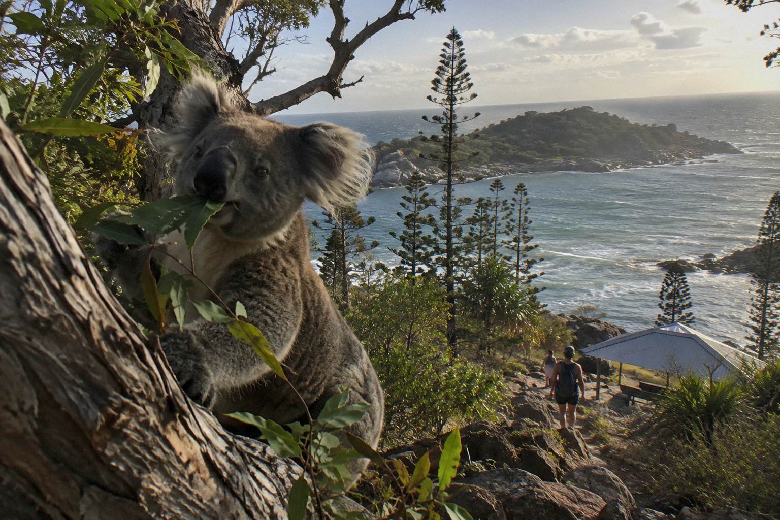
Koalas can be seen along the Forts Walk, in QPWS's own words, and the track runs through eucalypt and acacia woodland where there is a good chance of spotting a wild koala in the stunted trees. A 2012 study estimated the island supports around 800 koalas, descended from animals introduced in the 1930s.
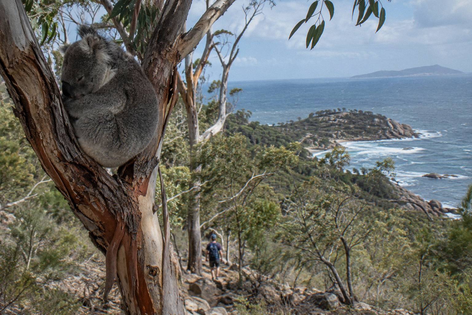
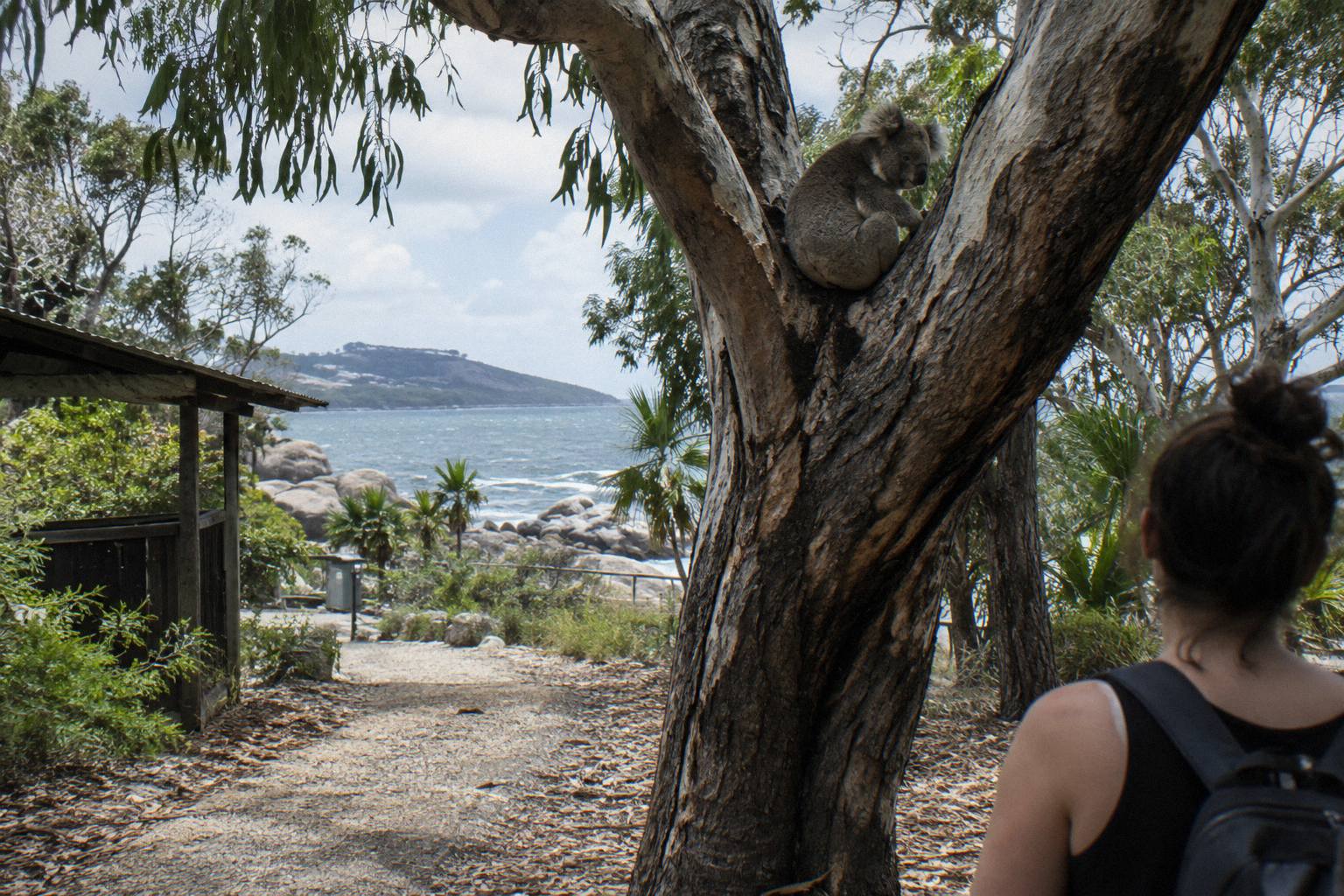
Koalas were brought to the island in the 1930s to protect them from perceived threats on the mainland, and the island population has since become one of the most studied in Australia. On the Forts Walk itself, the stunted ironbarks and poplar gums keep the animals at eye height and below, which is what makes sightings here so much easier than on the mainland. Scan the forks of branches on the uphill side of the track, look for the rounded grey shape against the bark, and check where other walkers have stopped and are pointing: koala traffic jams are a real phenomenon on this track.
Timing matters more than luck. Koalas rest for most of the day and feed in the late afternoon, so the two windows when they are awake enough to actually see moving are early morning and the last few hours of daylight. QPWS's advice to walk early is partly about heat and parking and partly about this. The island's nature care association adds a request worth passing on: keep your distance if you see one, because koalas are easily stressed and may desert their young. A zoom lens beats walking closer, every time. For a wider picture of where else on the island the population lives, the where to see wild koalas guide covers the other known spots.
Spotting technique is learnable, which is good news for first-time visitors. Koalas look like grey lumps of bark until your eye learns the shape, so the trick is to stop every hundred metres or so on the woodland sections and sweep the mid-storey trees methodically rather than glancing as you walk. Look low as well as high: the island's stunted eucalypts mean resting animals often sit within arm's reach of the ground. And listen, because on a quiet morning the scratching of claws on bark and the occasional deep grunting bellow of a male carry further than you would expect. A guide's advantage here is simply repetition, since they walk this junction most days and know which trees have been holding animals this week.
Early versus late is a trade-off worth being honest about:
| Before 9am | Midday | After 3pm | |
|---|---|---|---|
| Koala activity | Higher, animals awake | Low, resting in forks | Rising toward feeding time |
| Heat and shade | Cool, track mostly shaded | Hot, exposed granite sections | Cooling but still warm |
| Car parking | Usually available | Often full in peak season | Freeing up |
| Crowds on track | Light | Heaviest | Thinning |
| Light for photos | Soft, angled | Harsh overhead | Golden, from the west |
Which Other Tracks Branch Off Near The Forts Walk?
Forts Junction is the access point for the Forts Walk itself, the 1 km track to Arthur Bay, the 1.8 km track to Florence Bay, and the Nelly-Arcadia-Junction track, while Horseshoe Bay anchors the Grade 4 tracks to Radical Bay and Balding Bay. Distances and times below are the QPWS walking trails summary figures.
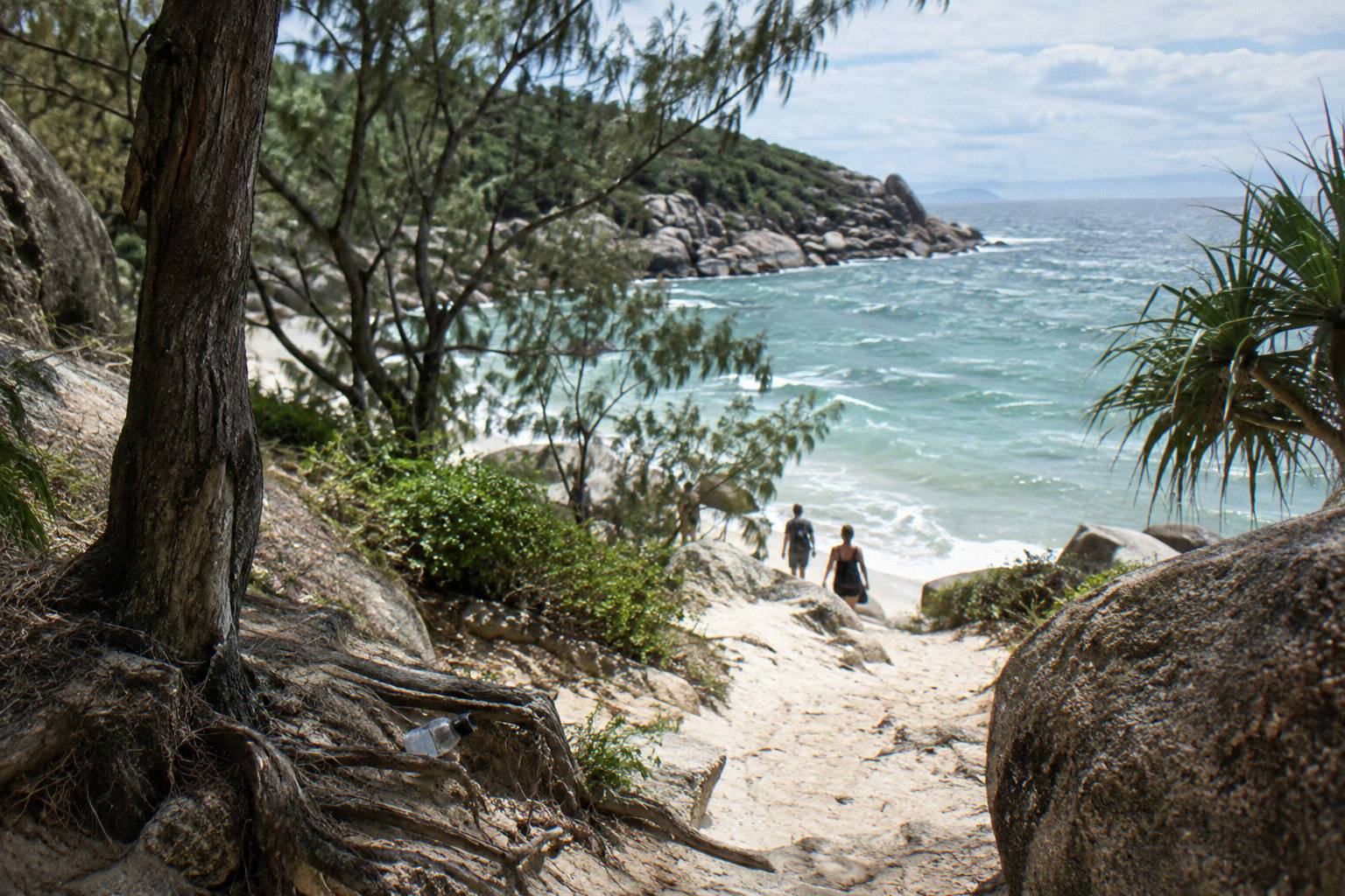
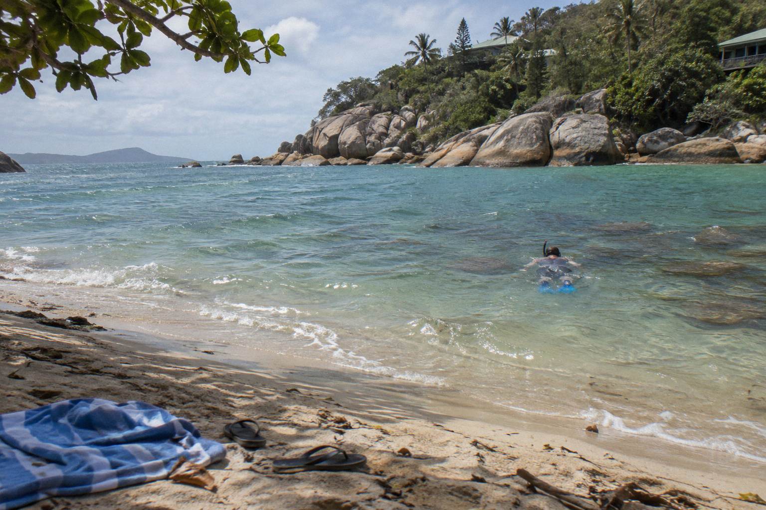
The strength of the Forts Junction area is that you can combine tracks. A popular half-day plan is the Forts Walk first, then the short descent to Arthur Bay for a swim, then back up to the junction. QPWS names Arthur Bay and Florence Bay as ideal for snorkelling, with fringing reef accessible straight from the beach, so packing a mask turns a walking morning into a walking and swimming morning. The official Forts Walk page covers the main track, and the summary table below pulls the branch tracks together.
| Track | From | Distance | Time | Grade |
|---|---|---|---|---|
| Forts Walk | Forts Junction | 4 km return | 2 hrs | 3 |
| Arthur Bay | Forts Junction | 1 km one way | 20 min | 2 |
| Florence Bay | Forts Junction | 1.8 km one way | 35 min | 3 |
| Forts Walk to Florence Bay | Forts Walk | 3 km one way | 1 hr 20 min | 3 |
| Searchlight Tower | Forts Junction | 2 km one way | 40 min | 3 |
| Radical Bay | Horseshoe Bay | 1.5 km one way | 50 min | 4 |
| Balding Bay | Horseshoe Bay | 1.4 km one way | 40 min | 4 |
| Nelly-Arcadia-Junction track | Forts Junction | 3 km to Arcadia | 1 hr 20 min | 4 |
| Hawkings Point | Picnic Bay | 600 m one way | 15 min | 4 |
Note the grade jump. Everything leaving Forts Junction toward the bays is Grade 2 or 3, manageable in ordinary shoes. The Radical Bay and Balding Bay tracks from Horseshoe Bay are Grade 4, rockier and steeper, and the Nelly-Arcadia-Junction track is Grade 4 as well. If you are walking with children or anyone steady-but-slow, stay on the Forts Walk and the Arthur Bay track and save the Grade 4 options for another visit. Heading out early with a full day on the island? The one day tour plan guide slots the Forts Walk into a realistic ferry-to-ferry schedule.
There is also a gentler option people miss. The Forts Junction loop itself, 400 m return and 15 minutes at Grade 1, gives a taste of the woodland without committing to the full climb, and it suits visitors with limited mobility or very tight ferry connections. Picnic Bay anchors the Hawkings Point lookout track, short but Grade 4, and the long flat Picnic Bay to West Point walk, 16 km return over 5 hours on easy ground, suits walkers who want distance without hills. In other words, the island has a track for every level, and the Forts Walk is simply the one that stacks the most rewards into a single two-hour outing.
Should You Walk It Alone Or Book A Guided Tour?
Walking the Forts Walk alone costs nothing beyond ferry fare and a water bottle, and the track is signed and safe for anyone comfortable with Grade 3. A guided tour adds interpretation, transport from the ferry, and a guide who knows where the koalas are resting that week, which matters if a sighting is the whole point of your visit.
The honest comparison is about what you are there for. The ruins have interpretive signs, the views need no narration, and the track is impossible to lose. What a self-guided walk cannot give you is the koala that is actually in the trees today, and the backstory that turns the battery into a place rather than a ruin. Local guides drive this junction daily, know which forks are holding animals, and carry spotting scopes in some cases. If koalas are a must-see rather than a nice-to-have, that local knowledge is the product you are buying.
| Self-guided walk | Guided island tour | |
|---|---|---|
| Cost | Ferry fare plus nothing | From A$95 for a 5-hour bus tour, up to A$720 for a private tour |
| Koala finding | Your own spotting | Guide knows current resting trees |
| History depth | Interpretive signs | Full narration, questions answered |
| Transport | Bus route 250 or hire vehicle | Pickup from ferry or accommodation |
| Flexibility | Stop when you like | Set itinerary across several bays |
| Ferry tickets | Buy separately | Included on the full-day tours |
Time-poor visitors should weigh one more factor: a guided day compresses the logistics. A tour that includes island pickup and a set itinerary removes most decision points, from the bus timetable to the car park, which is why full-day tours suit first-time visitors and families with tired legs. Independent walkers get freedom in exchange, and on an island with one road up each coast and a bus that runs the length of it, freedom is genuinely easy to use. Both approaches end at the same lookouts.
On the lineup, three tours stand out for this decision. The "Magnetic Island: History, Beaches & Wildlife Tour" runs 5 hours from A$95, includes national park entry, a light morning tea and bottled water (ferry tickets and lunch are extra), and carries a 4.8 rating from 189 reviews. It is the mid-priced option that covers the Forts area alongside the bays.
The "Magnetic Island: West Coast Eco Adventure" by MI Ride Discovery Tours is a different shape of day: 3 hours 30 minutes in an all-terrain bus with 2 to 3 short walks and a seasonal morning tea, rated 4.8 from 62 reviews, with the price showing when you check availability. It suits visitors who want the walking broken up with commentary rather than one sustained hike.
And for anyone whose ferry arrives after the morning tours have left, the "Magnetic Island Afternoon Tour" runs 3 hours from the Nelly Bay ferry terminal with a local guide and bottled water, rated 4.9 from 48 reviews, with free cancellation up to 24 hours before start. You can also read the guided Forts Walk tour options in detail before choosing.
How Do You Get To Forts Junction From The Ferry?
Sunbus route 250 runs from the Nelly Bay ferry terminal with a stop at Forts Junction among its major stops, which also include Arcadia and Alma Bay, Kelly Street in Nelly Bay, and Horseshoe Bay, so the walk is reachable by public bus in a few minutes without any vehicle at all.
The SeaLink passenger ferry from Townsville takes about 20 minutes and runs up to 17 return services a day, with terminals at Breakwater Terminal, Sir Leslie Thiess Drive in Townsville and Nelly Bay on the island, according to the SeaLink timetable page. From Nelly Bay, the bus toward Horseshoe Bay passes Forts Junction. The fare for the bus is not published on the pages on file, so check with the driver or the timetable before boarding. Cyclists and walkers can also reach the junction by road, and the island without a car guide covers the full car-free picture.
| Way to reach Forts Junction | From | Practical notes |
|---|---|---|
| Sunbus route 250 | Nelly Bay ferry terminal | Stops at Forts Junction; fare not published on file |
| Hire moke or scooter | Nelly Bay hire shops | Tropical Topless at 138 Sooning St, Road Runner at 56A Kelly St |
| Hire car | Townsville, via car ferry | Car ferry takes about 40 minutes from 42 Ross St, South Townsville |
| Tour pickup | Island accommodation or ferry | Island pickup included on the full-day guided tours |
| Walk | Nelly Bay or Arcadia | Nelly-Arcadia-Junction track, Grade 4, up to 2 hrs 20 min to Nelly Bay |
On Magnetic Island Tours, the booking options that include both ferry tickets and island transport remove the only genuinely fiddly part of a Forts Walk day, which is aligning the ferry, the bus and the walk start in time to beat both the heat and the car park. Day-trippers from Townsville get the most benefit, since a morning ferry plus a tour with pickup means the whole first hour of the island is handled by someone who does it daily. The ferry question in detail, including whether a tour fits comfortably into a single day, is covered in the guide to how long the ferry takes and fitting a tour in.
When Is The Top Time Of Year For The Forts Walk?
The cooler, drier months from May to September are the comfortable window for the Forts Walk, with Townsville mean maximums of 25.2 to 27.7 degrees across June to August and monthly rainfall means below 21 mm. Summer walking is possible but means an early start, full water bottles and stinger-season awareness for any swim afterwards.
The Bureau of Meteorology's Townsville averages put the January mean maximum at 31.5 degrees and the July mean maximum at 25.2, with mean rainfall collapsing from 274.4 mm in January to 15.5 mm in July and just 9.9 mm in September. Winter is also the season the Bureau describes as dominated by southeast trade winds and mostly fine weather, which is exactly what you want on an exposed granite lookout. The trade-off is that winter is peak visitor season, so the track, the car park and the koala traffic jams are all busier.
From November to May, marine stinger season applies to the island's waters, with stinger nets in use at Horseshoe Bay and Picnic Bay and lifeguards at Horseshoe Bay and Alma Bay every day from 8:15am to 4:15pm. That does not affect the walk itself, but it changes the swim you might plan at Arthur Bay or Horseshoe Bay afterwards: swim at a patrolled, netted beach in those months rather than off an empty bay. The best time to visit for tours guide runs the whole seasonal picture if your dates are flexible.
Between those two seasons sits a sweet spot worth knowing about. The shoulder months, when rainfall has already fallen off but the winter crowds have not yet arrived, combine dry track surfaces with quieter lookouts and easier parking. Whatever the month, the underlying arithmetic of this walk does not change: 4 km, 2 hours, one hill, some very good trees. Walk it early, bring more water than feels necessary, and give the forks of the ironbarks a proper look on the way up.
These are the guided options that cover the Forts area, one more time for easy comparison:
Common Questions About The Forts Walk
How Long Does The Forts Walk Take?
QPWS suggests allowing 2 hours of walking time for the 4 km return track. With stops at the ruins, the lookouts and some koala scanning, most visitors spend closer to two and a half hours on the track.
Where Does The Forts Walk Start?
The walk is accessible from Forts Junction, on the main road between Arcadia and Horseshoe Bay. There is a car park at the junction and a stop on Sunbus route 250.
Can You See Koalas On The Forts Walk?
Yes. QPWS says koalas can be seen along the Forts Walk and describes a good chance of spotting a wild koala in the stunted trees. Sightings are most likely early in the day and in the late afternoon.
Is The Forts Walk Hard?
It is a Grade 3 track: formed path, some short steep sections and steps. It suits anyone of average fitness, though the exposed granite sections get hot at midday.
What Are The Ruins On The Forts Walk?
A WWII signal station and coastal battery, built during the Second World War beginning in 1942. QPWS describes them as the best-preserved WWII coastal defence fortifications in Queensland, on a heritage listed site.
Do You Need A Tour For The Forts Walk?
No, the track is signed and safe to walk alone. A guided tour adds local knowledge of where koalas are currently resting, historical narration, and transport from the ferry, which suits visitors who want the sighting all but guaranteed.