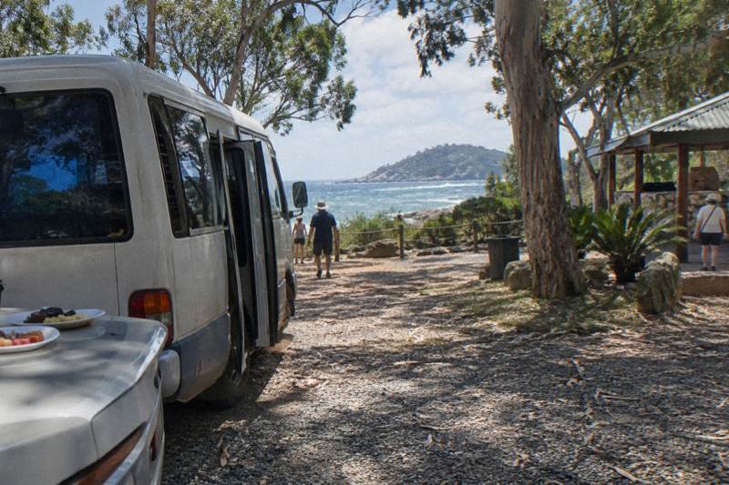
Is The Forts Walk Hard?
An honest difficulty breakdown of the Forts Walk on Magnetic Island: the Grade 3 rating, the 4 km return distance, the two-hour time allowance, and who the track suits.
Is The Forts Walk Hard?
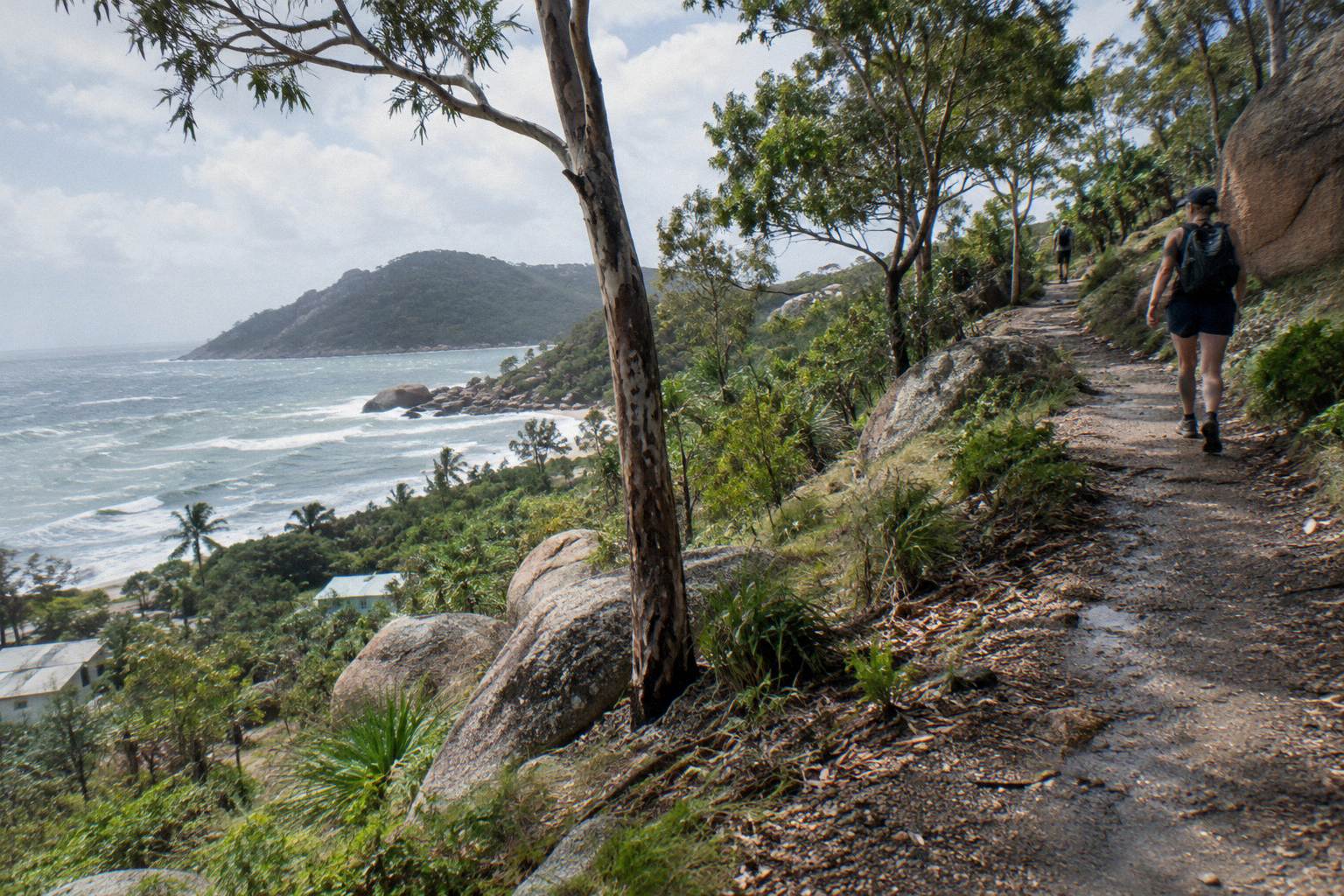
No, not by bushwalking standards, but it is not a flat beach stroll either. Queensland Parks and Wildlife grades the Forts Walk as a Grade 3 track, 4 km return, with a suggested walking time of two hours. Most reasonably fit walkers, including families with school-age children, complete it comfortably. The effort sits in the uneven track surface, some climbing through the middle sections, and the tropical heat rather than in any technical difficulty.
The honest answer depends on what you are comparing it with. If your reference point is the concrete promenade at Picnic Bay, the Forts Walk will feel like a genuine walk. If your reference point is the Grade 4 tracks further around the island, it feels moderate and well managed. The track starts from Forts Junction on the main road between Arcadia and Horseshoe Bay, climbs gently through eucalypt and acacia woodland, and ends among the best-preserved World War II coastal defence fortifications in Queensland, a heritage-listed complex with a signal station and coastal battery built during the Second World War.
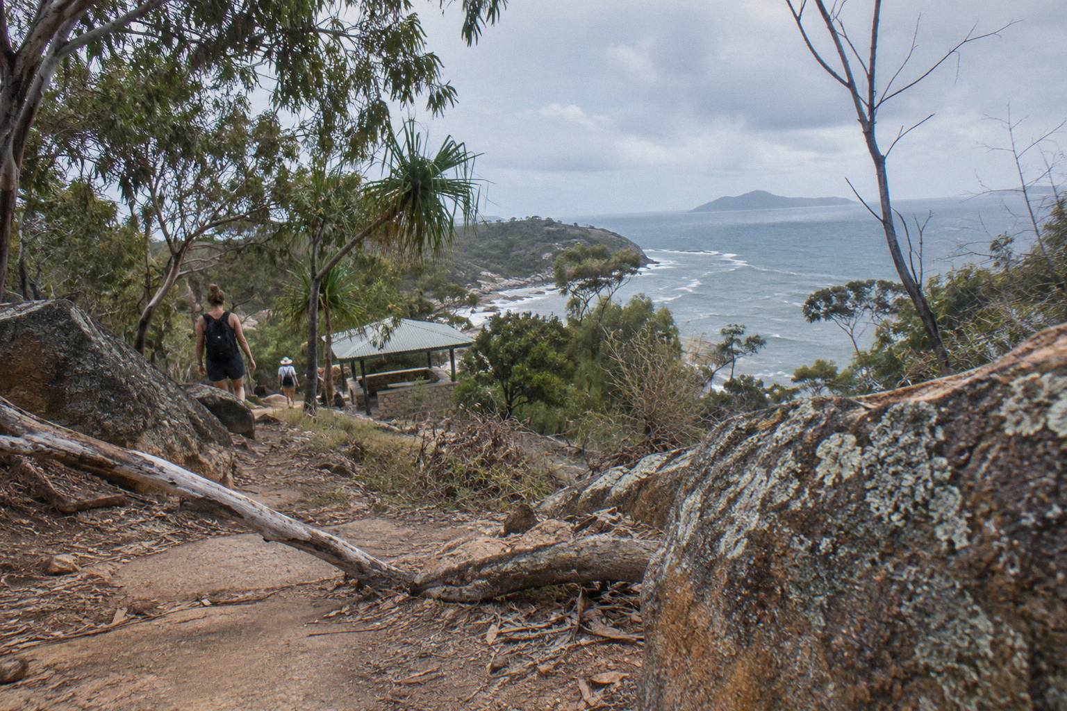
Queensland Parks and Wildlife describes the woodland along the track as a place where there is a good chance of spotting a wild koala in the stunted trees, which is a large part of why the walk carries the profile it does. The same official advice notes the payoff comes from timing: visit early in the day, when it is cooler, parking is often easier, and koalas and other wildlife are more active. None of that changes the difficulty rating, but it changes how hard the same 4 km feels on the ground.
If you already know the walk fits your legs and are now choosing how to see the rest of the island, these three tours cover the same territory without the walking:
- Aquascene Snorkel, Paddleboards
- Behind The Scenes With Tim Bee
- Bus Tour With Morning Tea
- Great Barrier Reef Snorkel Cruise
- MOUA Reef Snorkel, 10 Hours
- West Coast Eco Bus Tour
- Lunchtime Sailing Cruise
- Afternoon Tour, 3 Hours
- S.S. Yongala Wreck Dive
- Jet Ski Five Beach Bay Loop
- Aquascene Circumnavigation Boat Tour
- 2-Hour Jet Ski Tour From Townsville
- Poseidon Adventurer Jet Ski Tour
- 60-Minute Jet Ski Hire
- Jet Ski Top End, 3 Hours
- Sailing Cruise Ex Townsville, 6 Hours
- 70-Minute Express Jet Ski Tour
- 30-Minute Jet Ski Hire
- Private Tour, 1 To 5 Hours
- Snorkel Plus Jet Ski Combo
- 30-Minute Scenic Flight
- MOUA And Reef 2-Dive Trip
- Jet Ski Island Circumnavigation, 4 Hours
- Private Sailing Charter, BBQ And Drinks
- Full-Day Small-Group Sailing
- Koala Park Entry, Native Wildlife
- Breakfast With Koalas
- Reef Explorer Scuba Trip
What Does Grade 3 Actually Mean On This Track?
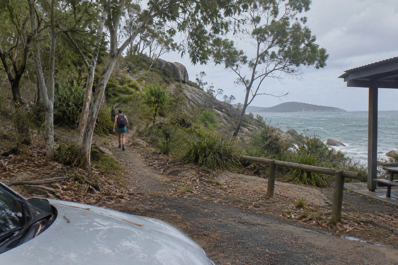
Grade 3 is the Australian walking-track standard for a track with uneven surfaces, some short climbs and occasional steps, suited to walkers with a basic level of fitness. On the Forts Walk that means a formed dirt track with rock, roots and brief climbs, not scrambling and not navigation skills. Footwear with grip matters more than stamina. Queensland Parks and Wildlife applies the same grade to several other island tracks.
The grading system runs from Grade 1, which is a flat, smooth, fully accessible path, up to Grade 6, which is remote and unformed rough track. The Forts Junction walk near the start of the area, at 400 m return and 15 minutes, is Grade 1, which gives you a useful reference point minutes from the Forts Walk trailhead. The step from that little loop to the Forts Walk itself is the step from a stroll to a walk, not the step from a walk to a hike.
Practically, the track surface is the main thing Grade 3 warns you about. Expect compacted earth with embedded rock, exposed tree roots, and short stretches of stone steps through the steeper mid-sections. None of it requires hands. Walkers who regularly do a 5 km neighbourhood walk will find the physical demand familiar; walkers who do not walk much will feel the second kilometre, particularly on a warm afternoon. Small children manage it with rests, and the ruins at the top are a reliable bribe.
It also helps to know what the grade does not include. Grade 3 does not mean exposed heights, rock scrambling or river crossings, none of which appear on this track. It does mean that after rain the compacted sections can be slick, and that the stone steps favour shoes with tread over thongs. If you can manage a public staircase and an hour of steady walking, the classification itself should not worry you; plan for the conditions instead.
How Far Is The Forts Walk And How Long Does It Take?
The Forts Walk is 4 km return, and Queensland Parks and Wildlife suggests allowing two hours of walking time. Most walkers finish in 90 minutes to two hours at a sightseeing pace, with photo stops at the gun emplacements, the searchlight tower junction and the lookouts over Horseshoe Bay. Fast walkers do it in about an hour. Allow extra in the warmer months, when the heat, not the distance, is what slows people down.
The two-hour allowance is generous rather than a warning. It is written for a steady walking pace with normal stops, and the official walking trails summary prints it plainly alongside the distance. If you are the kind of walker who reads every interpretive sign and scans every eucalypt for a grey lump, budget closer to two and a half hours. If you are walking before a ferry or a tour departure, an hour and a half is a safe planning figure.
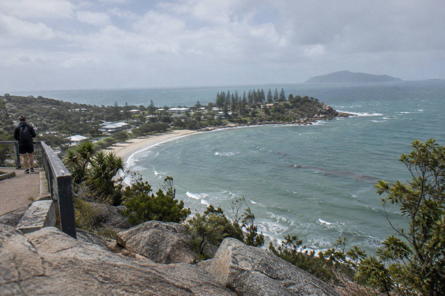
The distance splits roughly in half: out to the fortifications complex, then back the same way. There is no loop, so you can turn around at any point and still see something, and many families with tired legs walk only to the first lookout junction and back, which cuts the outing to well under an hour. The official Forts Walk page prints the distance, time and grade in one place, which is worth a look before you plan your day around it.
Timing the walk against the rest of your day matters more than most visitors expect. The ferry crossing from Townsville takes about 20 minutes and runs up to 17 return services a day, so the island day is flexible, but island tours depart on their own schedules and a two-hour walk plus travel to the junction eats a morning quickly. Walking early solves both problems at once, and the wildlife is more active then anyway.
Which Parts Of The Forts Walk Feel The Hardest?
The hardest stretch is the middle third, where the track climbs steadily through rock and steps toward the signal station, roughly 20 to 35 minutes in. The start is gentle and the end flattens around the ruins and lookouts. Coming back down is easier on the lungs but harder on the knees. Nothing on the track is sustained or steep enough to call a climb in hiking terms.
Walkers consistently describe the outing as a series of short rises rather than one hill. The first section from Forts Junction is nearly flat and shaded, which lulls you pleasantly. The track then steps up through the boulder country the island is known for, and this is where Grade 3 earns its rating: uneven ground, a few tight switchbacks, and rock steps that demand you watch your feet rather than the scenery.
After the climb the track levels onto the ridge, and the fortifications arrive in pieces: command post, gun emplacements, and the tower platforms with wide views north over Horseshoe Bay and the Palm Islands group. The park's culture page notes the walk protects the best-preserved World War II coastal defence fortifications in Queensland, which is the historical payoff for the mid-walk effort.
Two honest cautions from the official material. First, heat: Queensland Parks and Wildlife advises walking early in the day because it is cooler and wildlife is more active, and the exposed ridge sections offer little shade at midday even in winter. Second, footwear: thongs and the steep-ish steps are a poor combination, and grippy shoes are the single cheapest difficulty reducer on this track. Neither changes the grade; both change how the grade feels.
How Does The Forts Walk Compare With Other Magnetic Island Tracks?
The Forts Walk sits in the middle of the island's track ladder. It is longer and steeper than the Grade 1 and Grade 2 tracks near the bays, and shorter and easier than the Grade 4 tracks to Radical Bay, Balding Bay and the Nelly-Arcadia junction. If the Forts Walk feels hard, the Grade 1 and 2 options still deliver water views; if it feels easy, the Grade 4 tracks are the next step up.
Here is how the official walking trails summary lines up the island's tracks, using the grades and times Queensland Parks and Wildlife prints:
| Track | Distance | Time | Grade |
|---|---|---|---|
| Forts Junction walk | 400 m return | 15 min return | Grade 1 |
| Forts Walk | 4 km return | 2 hr return | Grade 3 |
| Arthur Bay, from Forts Junction | 1 km one way | 20 min one way | Grade 2 |
| Florence Bay, from Forts Junction | 1.8 km one way | 35 min one way | Grade 3 |
| Searchlight Tower, from Forts Junction | 2 km one way | 40 min one way | Grade 3 |
| Forts Walk to Florence Bay | 3 km one way | 1 hr 20 min one way | Grade 3 |
| Horseshoe Bay Lagoon | 500 m one way | 10 min one way | Grade 2 |
| Radical Bay, from Horseshoe Bay | 1.5 km one way | 50 min one way | Grade 4 |
| Balding Bay, from Horseshoe Bay | 1.4 km one way | 40 min one way | Grade 4 |
| Hawkings Point, from Picnic Bay | 600 m one way | 15 min one way | Grade 4 |
The pattern is clear. The island's hardest graded walking is short but rough, and its longest walking days, such as the Nelly-Arcadia junction track at 6.4 km one way to Nelly Bay, are also Grade 4. The Forts Walk is the island's flagship track precisely because it threads the needle: long enough to feel like an achievement, graded low enough that almost anyone ambulatory can finish it. There is more on the track itself in our guide to the full Forts Walk route and what to expect.
Self-Guided Or Guided: Which Suits You?
The Forts Walk is designed to be self-guided, with interpretive signs at the fortifications, so most walkers need no tour and no guide. A guided island tour earns its place when you want the wartime and wildlife stories without researching them, or when someone in your group should not be walking 4 km in the tropics at all. Do the walk yourself if you are able; take a tour if the walk is the problem being solved.
| Self-guided Forts Walk | Guided island tour | |
|---|---|---|
| Cost | Free, no permit or booking | From A$95 to A$720 depending on the tour |
| Time | 2 hr suggested, your own pace | 3 to 5 hours door to door |
| Stories | Interpretive signs at the ruins | Guide commentary, wartime and wildlife detail |
| Walking required | 4 km return, Grade 3 | Short optional stops only |
| Koala spotting | Your own eyes, best early morning | Guide and driver know recent sightings |
| Best for | Able walkers on a budget | Families, limited mobility, time-poor visitors |
On the guided side, the island bus tours are the direct alternative. The "Magnetic Island: History, Beaches & Wildlife Tour" runs 5 hours from A$95, is rated 4.8 from 189 reviews, and includes a light morning tea, bottled water, national park entry fees and island pickup (ferry and lunch are extra), so the Grade 3 question simply disappears from your day.
The other strong option is the "Magnetic Island: Behind the Scenes with Tim Bee" tour, 5 hours from A$115, rated 4.9 from 205 reviews, with bottled water, park entry and island pickup included; ferry tickets and lunch are extra. It covers the island's history and wildlife in an air-conditioned vehicle, and it is the natural choice when someone in your travelling party wants the fort story without the fort walk.
When Is The Walk Easiest, And When Is It Hardest?
Early morning is the easiest version of the Forts Walk, and midday from November to April is the hardest, purely because of heat. Queensland Parks and Wildlife advises walking early because it is cooler, parking is easier and wildlife is more active. The grade and distance never change, but a 4 km Grade 3 walk at 8am and the same walk at 1pm in the wet season are two different experiences.
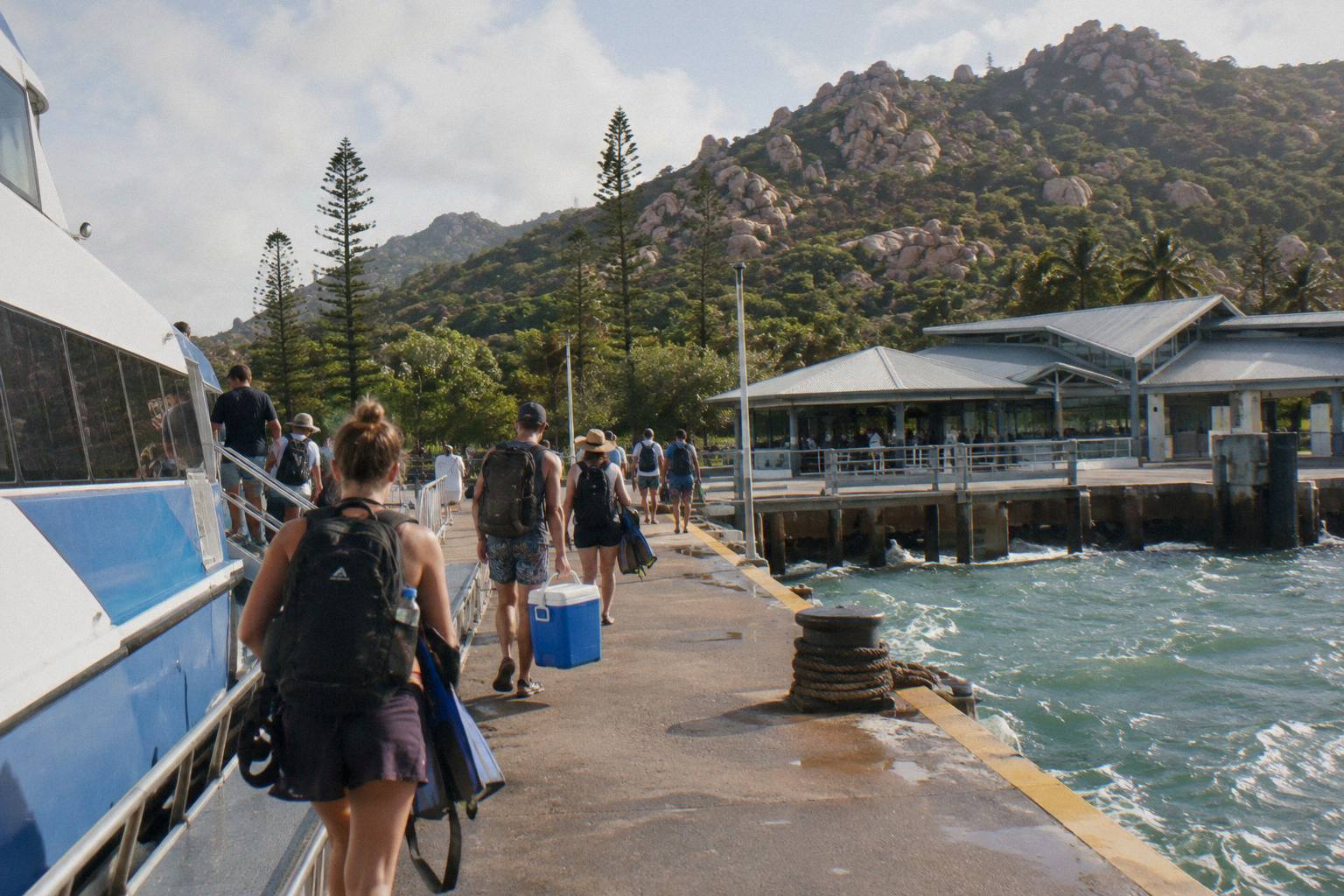
Townsville's climate record explains the pattern. Mean daily maximums sit at 31.5 degrees in January and 31.6 in December, against 25.2 in July, and the winter months are dominated by south-east trade winds and mostly fine weather, according to the Bureau of Meteorology. Winter is therefore the season in which the walk feels easiest, and the shoulder months of May and September are close behind.
| Month | Mean daily maximum | Mean rainy days (1 mm or more) |
|---|---|---|
| January | 31.5 °C | 11.7 |
| February | 31.2 °C | 12.7 |
| April | 29.7 °C | 5.3 |
| June | 25.7 °C | 2.4 |
| July | 25.2 °C | 2.0 |
| August | 26.2 °C | 1.4 |
| September | 27.9 °C | 1.2 |
| October | 29.6 °C | 2.9 |
The table reads the way walkers feel it: the cooler middle of the year is also the driest, with barely one or two wet days a month from June through September, while the summer months combine the year's highest temperatures with its heaviest rain. If your trip falls in the warmer half of the year, the early-morning advice stops being optional and becomes the difference between a pleasant walk and a hard one. There is more on picking a window in our piece on the best time of year to visit for tours.
Water, a hat and sunscreen do more for your difficulty rating than anything in your legs. There is no water on the track, so carry what you need for two hours in the conditions you have chosen. If you are visiting in the warmer half of the year and only have the middle of the day free, treat the two-hour allowance as a genuine requirement, not a suggestion, and turn around early without embarrassment if the climb is biting.
Do Kids And Older Walkers Manage The Forts Walk?
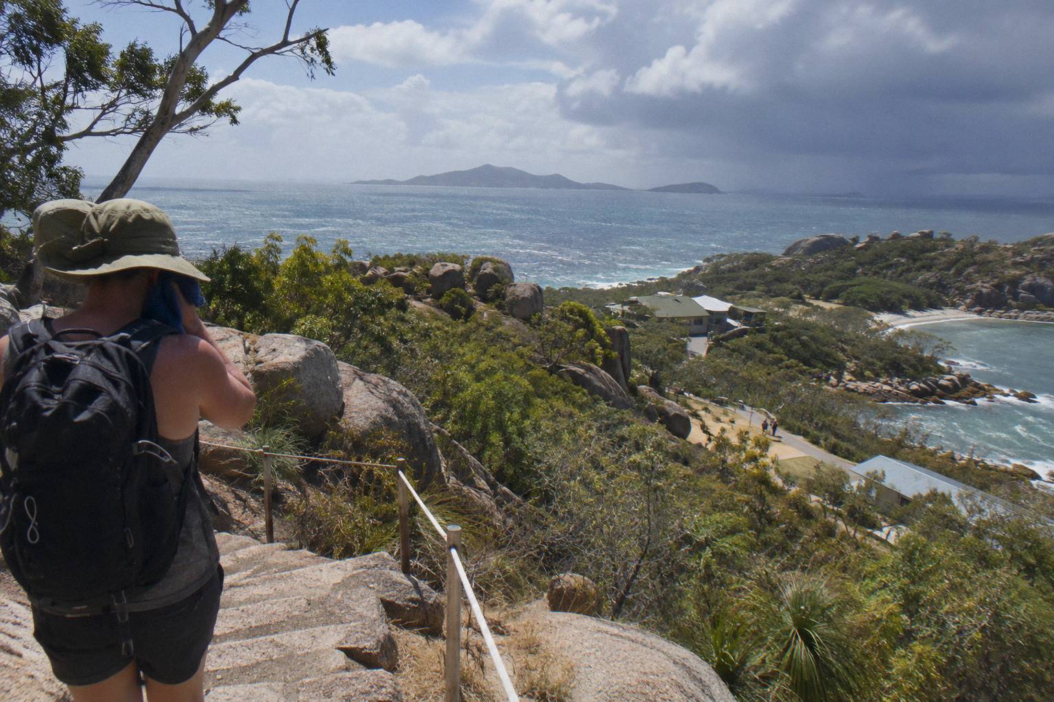
Most school-age children manage the Forts Walk comfortably, and the ruins give them a concrete reward at the top. The Grade 3 rating means uneven ground and short climbs, which challenge very young children, prams and walkers with unstable knees. Older walkers who handle stairs and a 4 km neighbourhood walk will handle this. Anyone who cannot should choose a bus tour instead of attempting it.
The track is not pram-friendly, and that is the single clearest cut-off: the stone steps and embedded rock rule out wheels. For children from roughly six or seven up, the walk is a well-known family outing, with enough boulders, lookouts and gun emplacements to hold attention. The usual family strategy is an early start, snacks, and a firm turnaround time agreed before you leave the junction.
For older walkers the honest test is stairs. If a flight of outdoor steps is fine, the track is fine, taken slowly. If stairs are a problem, the middle climb will be too, and the smarter day is a tour that delivers the same lookouts and stories by road. The Magnetic Island Tours lineup includes several options that stop at or near the Forts Junction area without requiring the climb, including the "Magnetic Island Afternoon Tour", 3 hours, rated 4.9 from 48 reviews.
Whichever way you go, the question is not really whether the Forts Walk is hard, it is whether two hours of Grade 3 walking fits the people and the weather on your particular day. For most visitors it does, and for the rest, the island has a bus.
If the answer has settled the difficulty question and you are ready to build the day around it, these three tours pair well with an early Forts Walk, or replace it entirely:
- Aquascene Snorkel, Paddleboards
- Behind The Scenes With Tim Bee
- Bus Tour With Morning Tea
- Great Barrier Reef Snorkel Cruise
- MOUA Reef Snorkel, 10 Hours
- West Coast Eco Bus Tour
- Lunchtime Sailing Cruise
- Afternoon Tour, 3 Hours
- S.S. Yongala Wreck Dive
- Jet Ski Five Beach Bay Loop
- Aquascene Circumnavigation Boat Tour
- 2-Hour Jet Ski Tour From Townsville
- Poseidon Adventurer Jet Ski Tour
- 60-Minute Jet Ski Hire
- Jet Ski Top End, 3 Hours
- Sailing Cruise Ex Townsville, 6 Hours
- 70-Minute Express Jet Ski Tour
- 30-Minute Jet Ski Hire
- Private Tour, 1 To 5 Hours
- Snorkel Plus Jet Ski Combo
- 30-Minute Scenic Flight
- MOUA And Reef 2-Dive Trip
- Jet Ski Island Circumnavigation, 4 Hours
- Private Sailing Charter, BBQ And Drinks
- Full-Day Small-Group Sailing
- Koala Park Entry, Native Wildlife
- Breakfast With Koalas
- Reef Explorer Scuba Trip
Common Questions About The Forts Walk
Is The Forts Walk Hard?
No. It is a Grade 3 track, 4 km return, with two hours of suggested walking time. It has uneven surfaces and short climbs but no scrambling, and most people of average fitness complete it comfortably.
How Long Does The Forts Walk Take?
Queensland Parks and Wildlife suggests allowing two hours of walking time for the 4 km return track. Most walkers finish in 90 minutes to two hours at a sightseeing pace, with photo stops at the ruins and lookouts.
Where Does The Forts Walk Start?
The walk starts at Forts Junction, on the main road between Arcadia and Horseshoe Bay. There is more detail in our guide to where the Forts Walk starts and how to get there.
Can You See Koalas On The Forts Walk?
Yes, the park service says koalas can be seen along the Forts Walk and describes a good chance of spotting one in the stunted trees. Your odds are best early in the day, when koalas and other wildlife are more active.
Is The Forts Walk Suitable For Young Children?
Most children from about six or seven up manage it. The track is not pram-friendly, with stone steps and embedded rock, so very young children and wheels are the main exclusions.
Do You Need A Guide For The Forts Walk?
No, the track is designed to be self-guided and has interpretive signs at the fortifications. Guided island tours suit visitors who want the stories without the walking, or days when the 4 km does not fit.